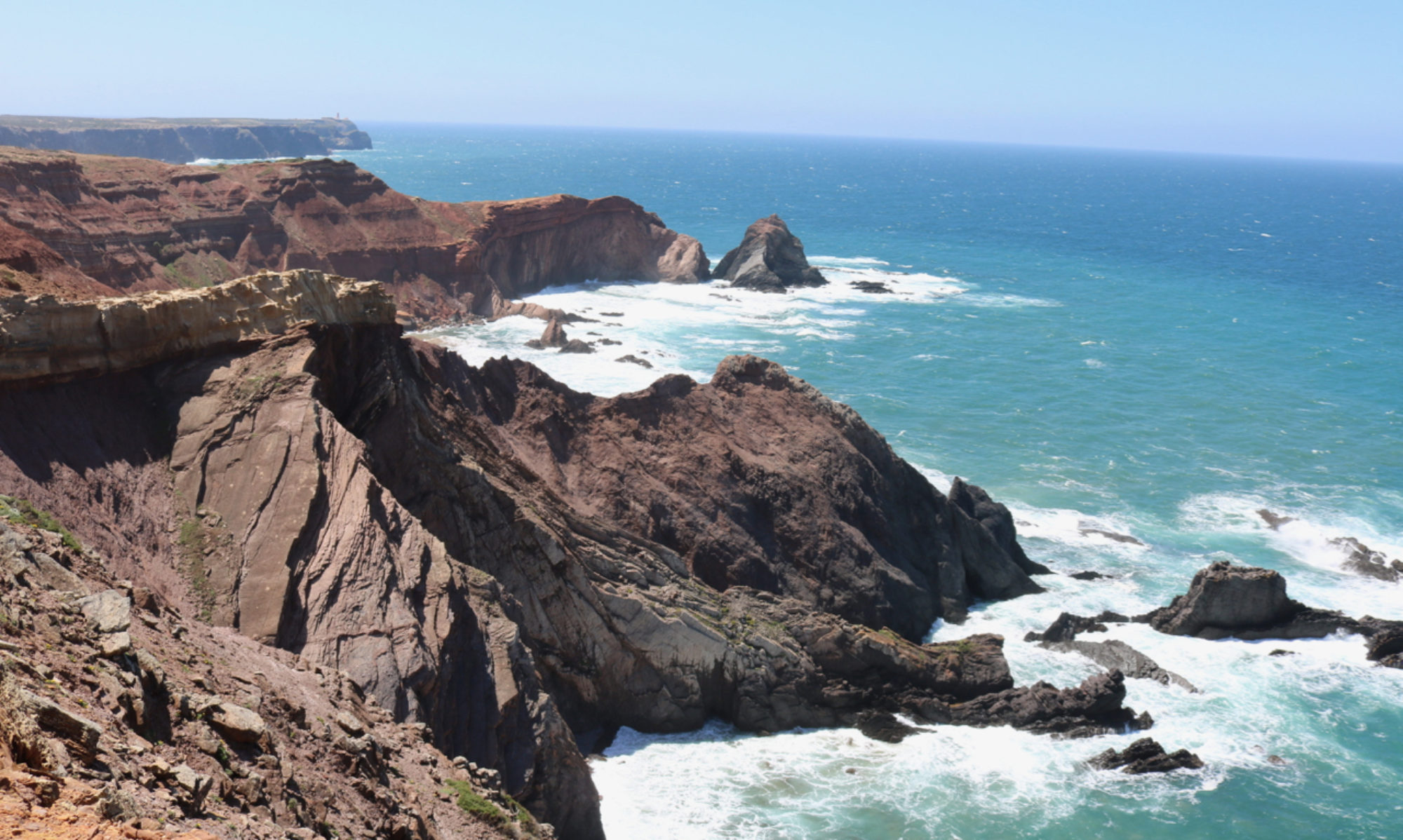
The landscape in Iceland is fascinating. The island has volcanos (remember the 2010 air transport shutdown?), glaciers, and significant erosion all going on. Glaciers release a lot of water from the highlands that forms rivers and these a large number of small falls and the occasional large one. Because much of the land is recent, in geological terms, erosion hasn’t had time to smooth everything out and create gentle curves. Most of what we see consists of a flat coastal plain, a moderately rolling tablelands at a few hundred metres and near vertical cliffs in between.
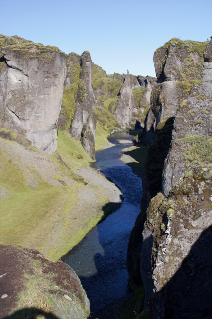
Where there are softer soils and rocks, the river erosion often creates canyons with near vertical walls. Here is a shot from Fjaðrárgljúfur (no idea how to even start pronouncing these names).
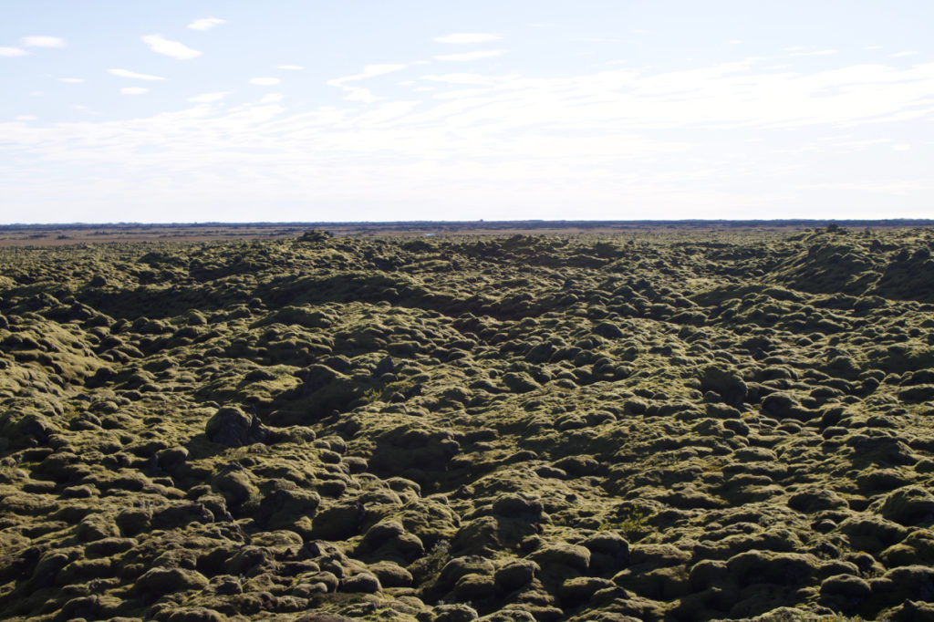
Even the flat parts of the land have an unfamiliar feel to them.
One thing Liane and I haven’t understood is the pattern of development here. While villages are typically right on the coast, as expected for a fishing based culture, many farms are placed right at the bottom of huge vertical cliffs. We don’t know why they don’t get destroyed by falling rocks and slides. There are a few museums around Iceland about the settlement process. Perhaps visiting one of those later in the trip will help us understand.